MHS PROJECT MANAGEMENT SERVICES
Geophysics

Electromagnetics
Resistivity
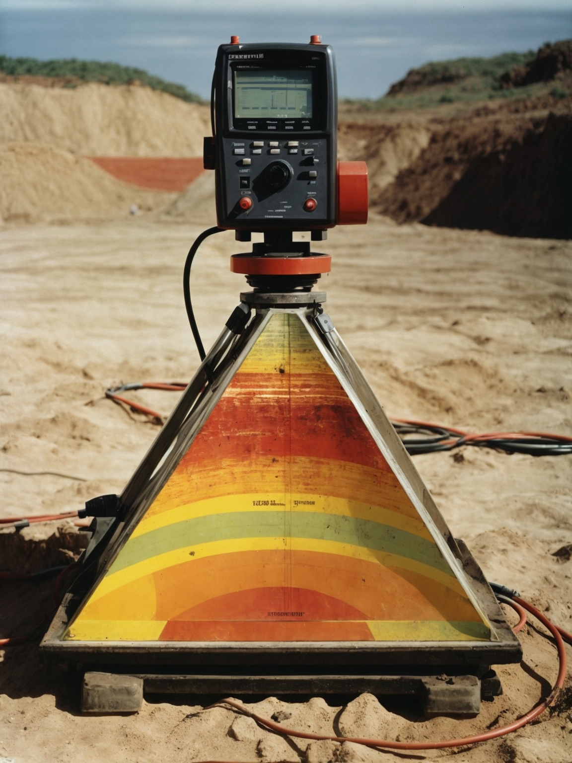
Radar

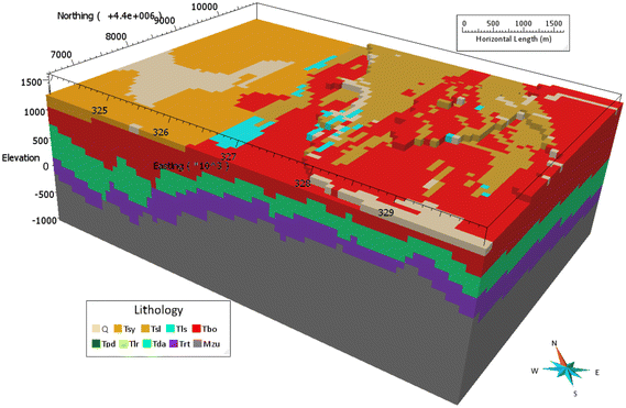
3D Modelling

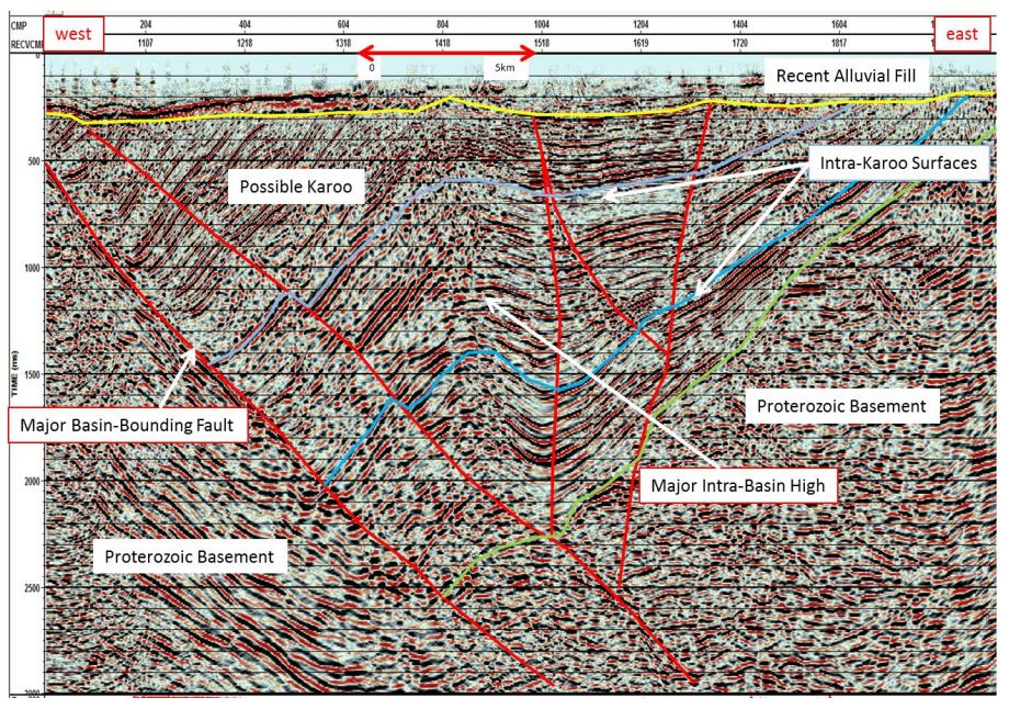
Seismic Refraction

Magnetics
Downhole Logging

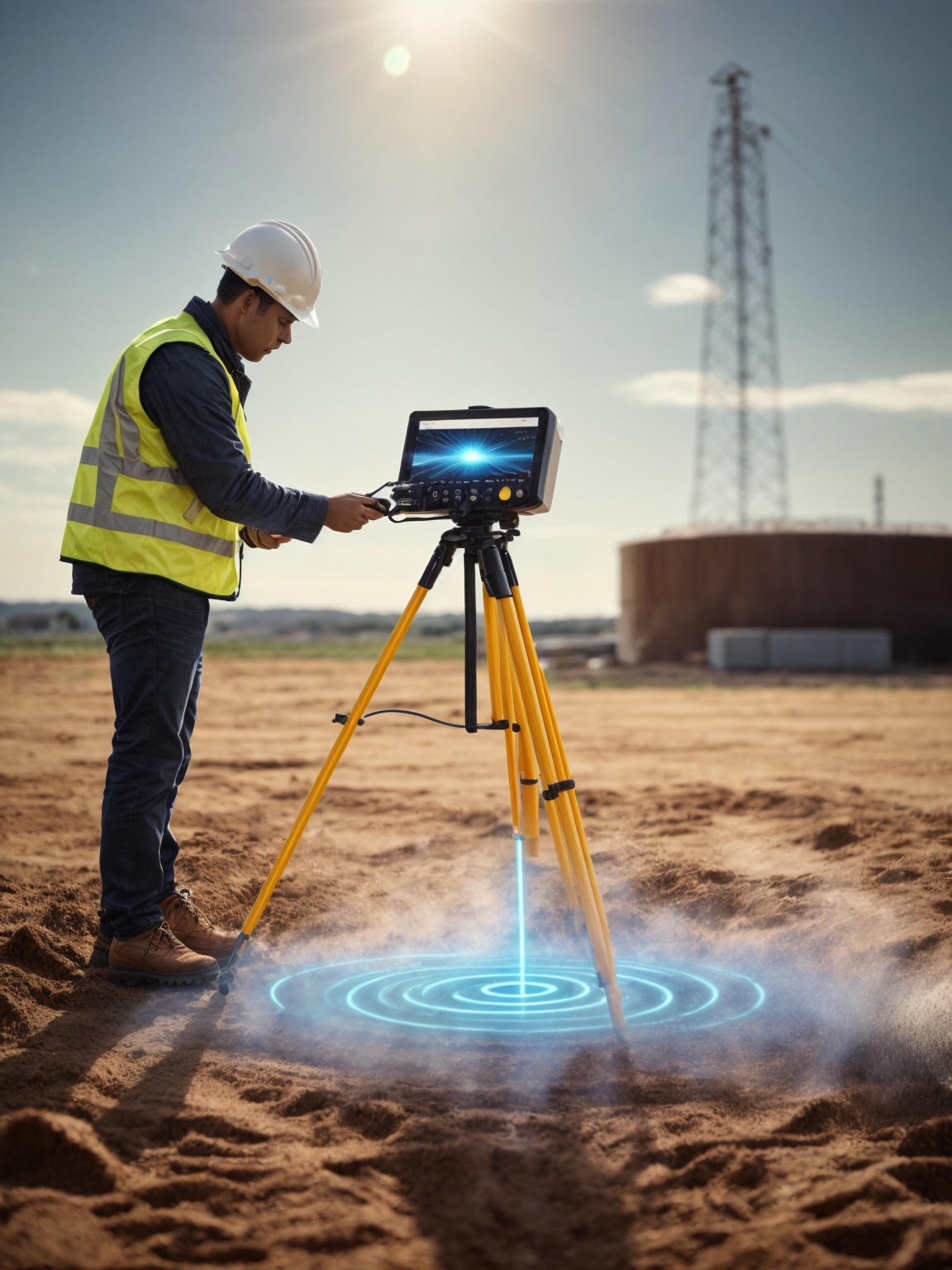
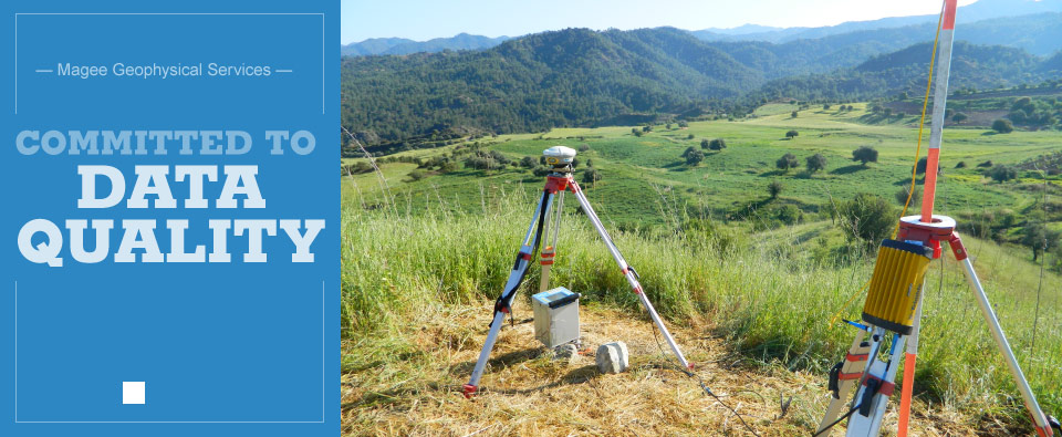
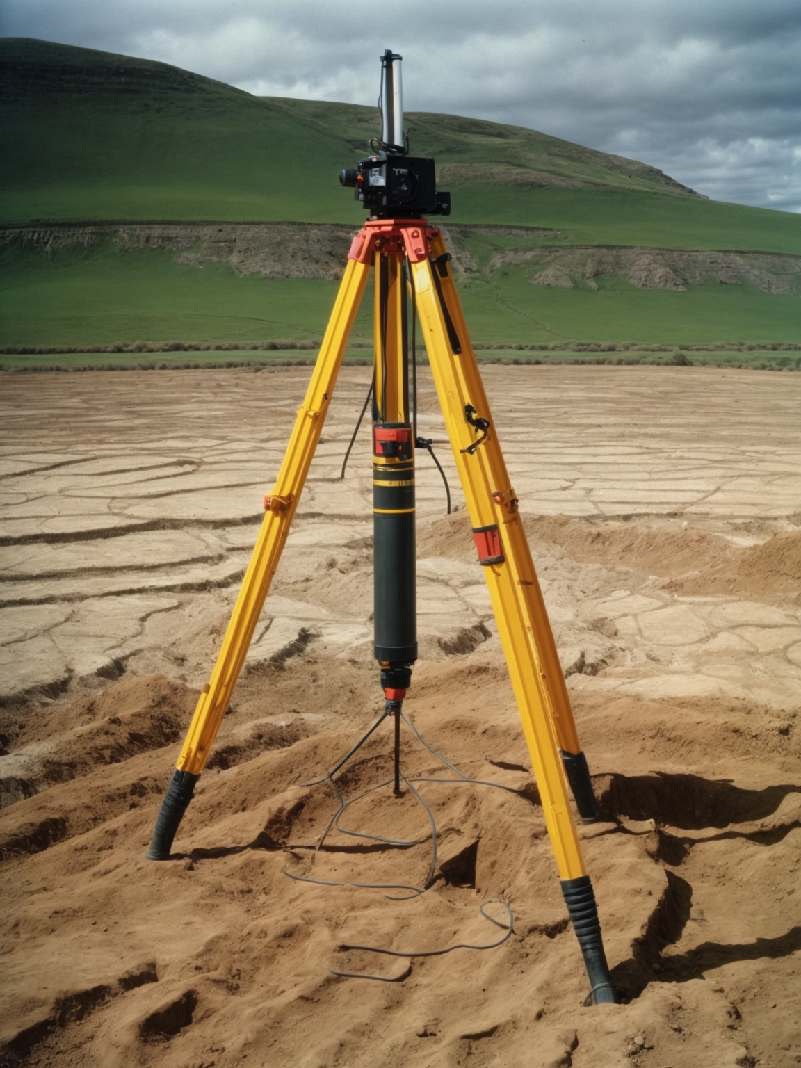
Land Surveys

WELCOME TO
MHS Project Management Services.
MHS Project Management Services is a pioneering company registered under DED, dedicated to delivering cutting-edge geophysical and remote sensing solutions. With a comprehensive range of services, we redefine the landscape of geophysical exploration and assessment.
Our expertise encompasses a spectrum of geophysical techniques, ranging from
Resistivity/ERT Survey,
Electromagnetics/EM Survey, Radar/GPR Survey, 3D-Modelling, Seismic Refraction,
Magnetics,
Downhole Logging, to Land Survey. These cutting-edge methodologies empower us to
decipher the Earth's
intricate subsurface composition, aiding diverse industries in making informed decisions
and strategic advancements.
In an era fueled by technological advancement, our commitment to innovation extends to
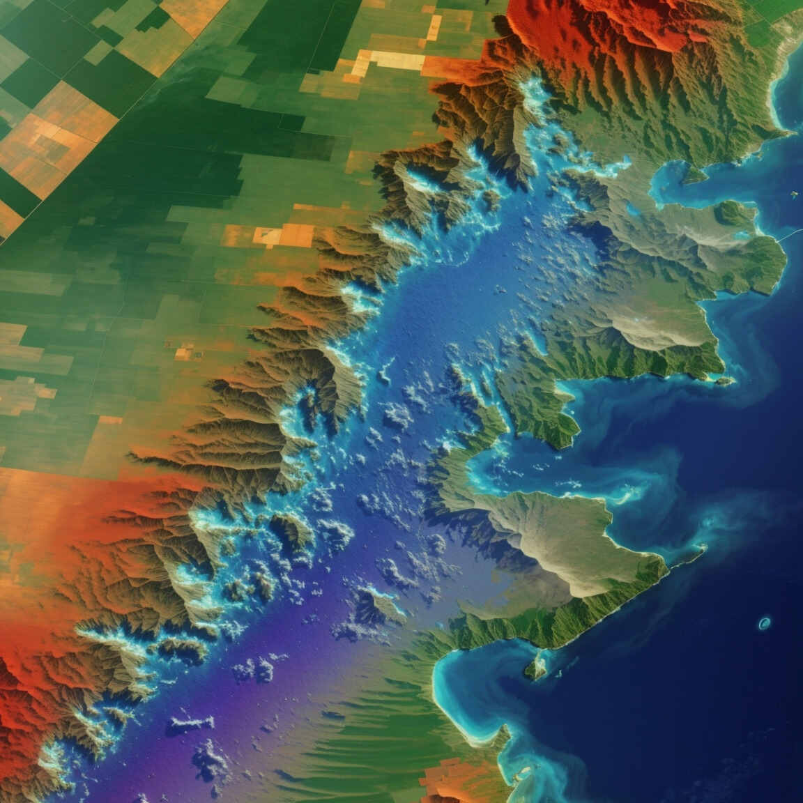
remote sensing.
Through Satellite Imaging and Drone Imaging, we capture data from aerial perspectives,
enabling a profound
understanding of expansive landscapes and intricate structures.
Noteworthy among our offerings is our Concrete Scan—a non-invasive technique that
ensures structural integrity while
revealing concealed complexities. By prioritizing safety and precision, we enhance the
efficiency and reliability of
projects involving concrete structures.
Central to our success is our team of accomplished professionals and state-of-the-art
equipment. At MHS, we thrive on
transforming challenges into opportunities, setting new benchmarks in the realm of
geophysical exploration and remote sensing.
Our legacy of excellence, propelled by innovation, is a testament to our dedication to
shaping the future of industries we serve.
Concrete Scan
Concrete scanning is a crucial non-destructive testing technique employed to gain
insights
into the internal composition of concrete structures. This process involves utilizing
specialized
equipment, such as Ground Penetrating Radar (GPR) and electromagnetic technology, to
create detailed
images of what lies beneath the concrete surface.
During a concrete scan, the equipment emits signals that penetrate the concrete,
reflecting off
embedded objects like rebar, conduits, and voids. These signals are then captured and
analyzed by
the equipment, forming a comprehensive picture of the underlying structure. By
interpreting the data,
technicians can identify the exact location, size, and depth of hidden elements within
the concrete. Read more..