Remote Sensing Services
Earth Imaging from Air or Space
Remote sensing refers to the process of detecting and interpreting physical characteristics of the earth by measuring reflected and emitted radiation surrounding an area of interest. Highly specialized cameras are employed which can be mounted either in space (satellites) or near the earth's surface (drones). Our remote sensing services include the acquisition, analysis and mapping of high-resolution imaging data.
The applications of remote sensing technology are extensive and steadily increasing. Ranging from simple imaging to complex multi-spectral analysis, remote sensing is being used in fields such as environmental science, energy and mining, forestry, agriculture, regional planning, meteorology and more. Specific project requirements will determine whether it is more beneficial to employ Satellites versus Drones to obtain the imaging data. Remote sensing through detailed image analysis has become an important tool because of the ability to appraise large areas of land in a short period of time.
Analysis and mapping is achieved through use of specialized remote sensing software. Multi-spectral data can be analyzed to identify subtle variations in solar reflectance spectra and is used to identify and classify objects or vegetation and to monitor change. Digital elevation models derived from stereoscopic imagery provide high accuracy elevation maps even for remote, densely forested sites.
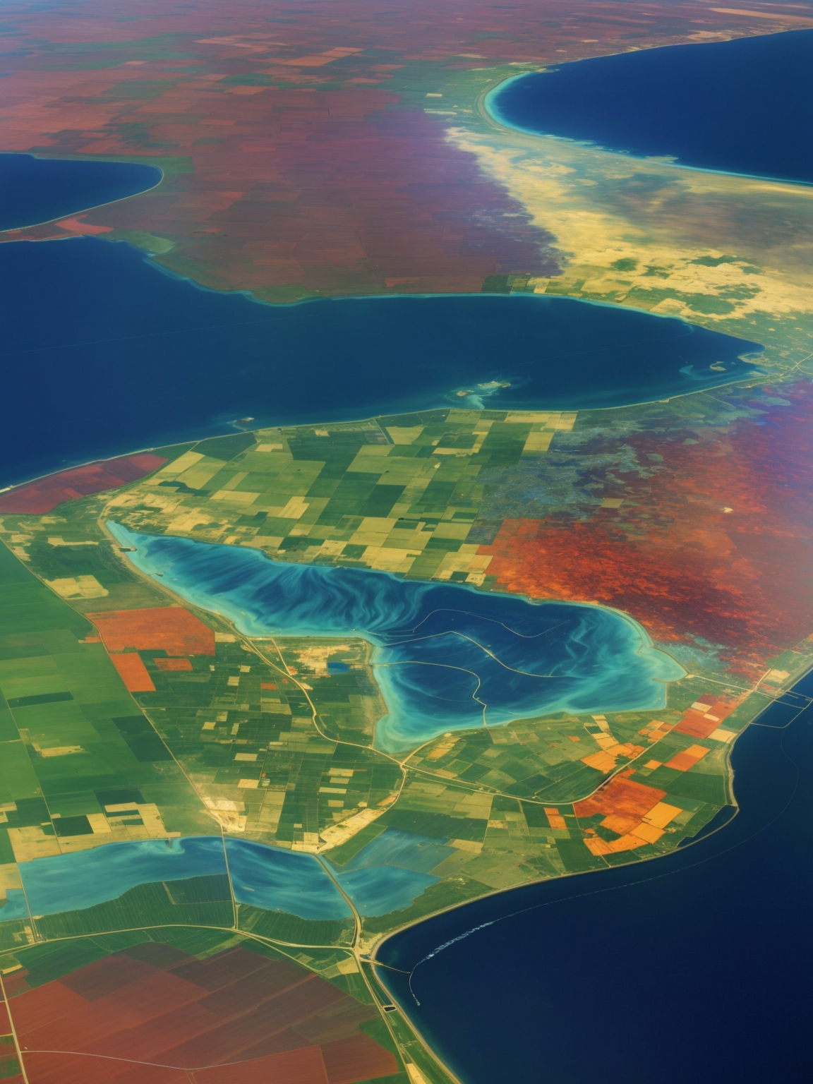
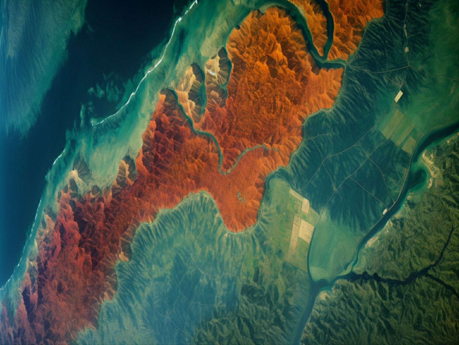
What is Multi-Spectral Imaging?
- Analysis of discrete spectral bands within the visible and infrared range of the electromagnetic spectrum.
- Varying combinations of bands may be used to identify features not normally visible to the naked eye.
- Different reflective properties of surface features allows for identification and classification.