Downhole Logging
Downhole Logging
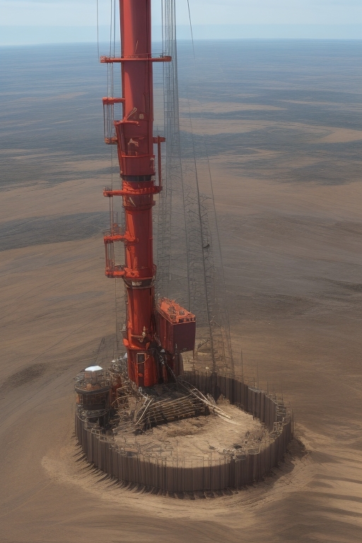
MHS employs Downhole Logging, also known as Borehole Logging, as a method to gather geologic and hydrologic data by lowering and raising probes on a wire. This technique enables the evaluation of diverse properties within subsurface rocks, soils, and fluids. Specific probes measuring various properties collect continuous or point data as they descend into boreholes. The collected data is presented graphically in real-time during logging and digitally recorded for subsequent analysis. Downhole Logging plays a pivotal role in providing crucial information that is often unattainable through other investigation methods. Borehole probes are widely used in applications such as groundwater exploration, natural resource assessment, and environmental characterization. This technique offers insights into fractures, water-bearing zones, structural features, lithology, aquifer properties, and groundwater flow systems. Geophysical characterization through Downhole Logging reveals valuable subsurface details, aiding in informed decision-making for a range of industries. MHS leverages this method to effectively uncover subsurface complexities and contribute to comprehensive assessments. By harnessing the power of Downhole Logging, we ensure that our clients have access to accurate, real-time data for improved project outcomes and resource management.
Geophysical Characteristics Measured
- Formation Conductivity
- Natural Gamma
- Acoustic Televiewer
- Fluid Conductivity/Temperature/Flow Rate
- Optical Televiewer